
British Isles - Population
Orientation
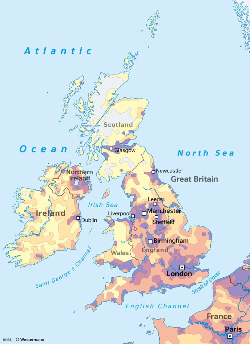
978-3-14-100890-6 | Page 83 | Ill. 3
Overview
The population distribution of the United Kingdom and the Republic of Ireland, shown as average number of inhabitants per square kilometre, almost resembles the continuation of an arch or else the famous "blue banana" from the densly populated continental Belgium and Northern France (see Southeastern corner of the map clip), over the Strait of Dover into Southeast England towards London and then onwards into the Midlands (Birmingham) and the North of England (from Liverpool on the Irish Sea coast to Kingston upon Hull on the North Sea coast) and phasing out in the Northeast of England (Newcastle), Northern Ireland (Belfast) and Dublin, the capital of the Irish Republic. These outer, already peripheral agglomerations then pass over into a very sparsely populated Western and Northwestern fringe, which covers most of Ireland except the East coast, as well as Scotland except the lowlands between Glasgow and Edinburgh. Here we are already in the outer reaches of the European continent, followed by sets of coastal islands, some of which are at greater distance from the mainland (Outer Hebrides, Orkney Islands).
Central corridors mapped by population density
Four central corridors can be delineated in connotation with the physical map on page 82:
a) the corridor between ports along the extended Strait over Dover coastline and London,
b) the corridor between London and the Western access to the Irish Sea (Bristol, Cardiff), as well as the former Welsh coal regions,
c) the corridor between London, the West Midlands (Birmingham and surroundings) and the Western cities in the North of England (Liverpool, Manchester), branching off towards the West (Dublin and Belfast via Holyhead on Anglesey) and the North through already sparsely populated Cumbria and Dumfries towards Glasgow, and
d) the corridor between London, the East Midlands (Leicester, Nottingham) towards Sheffield and Yorkshire (Leeds) and the Humber, onwards to Newcastle and then similarly along the sparsely populated East coast to Edinburgh.
The major agglomerations are all set in these population and transport corridors (both rail and road).
